Comments: 14
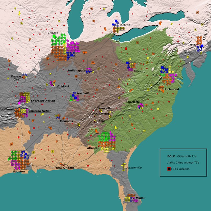
My first custom map created to play with my friend on a dedicated server. It was my first time taking the game to a server since started playing in 2020, so it’s not extremely accurate.
I scaled the map wrong in KingGen so 90% of NYC was blown off by a plate-tectonics of KingGen’s renderer. I also mismatched height-map with elevation scale used by KingGen so sea level was raised to put coastal areas under water.
I used U.S. topographic map downloaded from USGS.
Download Google Drive File
Download Google Drive Folder
Credits: VA1090528KO

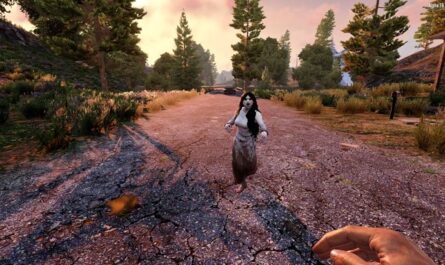
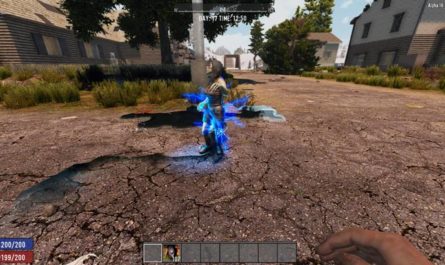
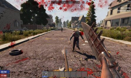

If you have any questions or have any problems/bugs, please use the support link (Discord, Forum Topic, GitHub Issues, etc.) in the post. If there is no support link in the post, please use the comments section.
links to download are broken. cant download
any update ??
Kansas got cut off. Can’t use.
Hello!
i love the work u put in there!
may i ask if you would like to do a EU map? that would be awesome!
can you try to make one with the southern part of mississippi please for alpha 20
not accurate, no mississippi river.
Sorry, scaling the US map into 7DTD size basically made all rivers too narrow to be recognized by the renderer. I think I’ll try to pick a city next time so I would be able to have a river.
hi great idea how do you get it too show up i cant get it too show up
Hi, here is a link to an instruction video that is about 3 minutes long.
https://www.youtube.com/watch?v=K4ut6hROLy8
It was originally made for A17 but I don’t think it changed since then.
For servers, unless you are running your own server, most hosting services have a map uploader on their website. You just need to compress the entire folder you downloaded from the Google Drive into a “.zip” file, then upload it on the hosting service website.
didnt work tried like the vid and nothing 🙁
i have screenshots of errors
missing now ??
hi. can you make map Syria/Iraq? plz
I’ll try. It’s going to be my second time making a custom map, so it may take some time. First, I’ll have to find a topographic map of Syria/Iraq. US maps were easier to find from US Geological Survey website but it was still quite hard to find black&white topographic map with raw elevation data without added colors and labels.